GIS Data
We provide a variety of County datasets at no cost to the public. We also can provide additional or custom data for a fee. We do not distribute data that was not created or maintained by this department e.g. Water rights, soils data, etc.
Non-Spatial Data
Tax and assessment data can be found on our Open Data portal.
Spatial Data
Crook County Open Data
Use the Crook County Open Data site for easy data download. This is our simplest form of data distribution and should work for most typical workflows.
Crook County REST Page
We distribute all our spatial data through web services. Feel free to reference what ever data we have made available in your web maps using these services, but we request you read the disclaimers associated with them. The rest page for our data is https://gis.crookcountyor.gov/server/rest/services.
A Note About Parcels
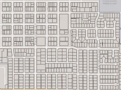
We have normalized the data structure of the tax lots / Parcels. This means that we no longer provide artificial 1-to-1 relationships in a flat attribute file. Instead, we provide the associated tabular data that can be related to the Parcels / tax lot polygons. You can find these tables on the Crook County Open Data site, or as part of our Open Data Boundaries map service.

